Introduction
Remote sensing is a powerful tool for environmental assessment, enabling the collection and analysis of data about the Earth’s surface and atmosphere from a distance. This knowledge article explores the applications of remote sensing in various environmental domains, its underlying principles, and the latest advancements in this field.
What is Remote Sensing?
Remote sensing refers to the acquisition of information about an object or phenomenon without making physical contact with it. It involves the use of sensors, either on satellites, aircraft, or other platforms, to detect and measure electromagnetic radiation emitted or reflected by the Earth’s surface and atmosphere.
Key Characteristics of Remote Sensing:
- Non-invasive: Remote sensing allows for the collection of data without directly interacting with the environment, making it a non-invasive approach.
- Spatial Coverage: Remote sensing can provide a synoptic view of large areas, enabling the assessment of environmental conditions over wide geographic regions.
- Temporal Monitoring: Remote sensing data can be collected repeatedly over time, allowing for the monitoring of environmental changes and trends.
Applications of Remote Sensing in Environmental Assessment
Remote sensing has a wide range of applications in environmental assessment, including:
Land Cover and Land Use Mapping:
- Identifying and monitoring changes in land cover, such as deforestation, urbanization, and agricultural expansion.
- Mapping the distribution and dynamics of different land use types, including natural ecosystems, agricultural areas, and human settlements.
Natural Resource Management:
- Assessing the condition and distribution of natural resources, such as forests, water bodies, and mineral deposits.
- Monitoring the impacts of human activities on natural resources and ecosystems.
Environmental Monitoring and Disaster Management:
- Detecting and monitoring environmental hazards, such as wildfires, floods, and oil spills.
- Assessing the impacts of natural disasters and supporting disaster response and recovery efforts.
Climate Change and Atmospheric Studies:
- Monitoring changes in atmospheric composition, including greenhouse gas concentrations and air quality.
- Studying the impacts of climate change on various environmental components, such as glaciers, sea levels, and vegetation.
Remote Sensing Techniques and Sensors
Remote sensing utilizes a variety of techniques and sensors to collect and analyze environmental data:
Passive Remote Sensing:
- Measures the natural electromagnetic radiation emitted or reflected by the Earth’s surface and atmosphere.
- Examples include optical sensors, such as multispectral and hyperspectral imagers, and thermal infrared sensors.
Active Remote Sensing:
- Emits its own electromagnetic radiation and measures the reflected or backscattered signals.
- Examples include radar (Radio Detection and Ranging) and lidar (Light Detection and Ranging) systems.
Challenges and Limitations in Remote Sensing
While remote sensing offers numerous benefits, it also faces some challenges and limitations:
- Data Availability and Resolution: The availability and quality of remote sensing data can vary, and the spatial, temporal, and spectral resolutions may not always meet the specific needs of environmental assessment.
- Data Processing and Analysis: Handling and interpreting the large volumes of remote sensing data can be complex and require specialized expertise and computational resources.
- Integration with Other Data Sources: Effective environmental assessment often requires the integration of remote sensing data with other types of data, such as in-situ measurements and socioeconomic information.
Future Trends and Advancements in Remote Sensing
The field of remote sensing is continuously evolving, with several promising developments on the horizon:
- Increased Spatial and Temporal Resolution: The launch of new satellite missions and the development of advanced sensor technologies are expected to provide higher-resolution data with improved temporal coverage.
- Hyperspectral and Thermal Imaging: Advancements in hyperspectral and thermal imaging sensors are enabling more detailed analysis of environmental features and processes.
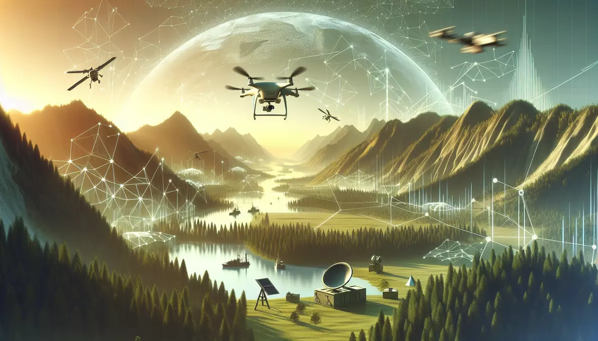
- Unmanned Aerial Vehicles (UAVs) and Drones: The use of UAVs and drones for remote sensing is expanding, offering increased flexibility and the ability to collect high-resolution data at targeted locations.
- Data Integration and Artificial Intelligence: The integration of remote sensing data with other data sources, combined with the application of advanced data analysis techniques and artificial intelligence, is expected to enhance environmental assessment and decision-making.
Conclusion
Remote sensing is a powerful tool for environmental assessment, providing a non-invasive and comprehensive approach to monitoring and understanding the Earth’s surface and atmosphere. As the field continues to evolve, the integration of remote sensing data with other data sources and the application of advanced analytical techniques will further enhance our ability to address complex environmental challenges and support sustainable management of natural resources.
This knowledge base article is provided by Fabled Sky Research, a company dedicated to exploring and disseminating information on cutting-edge technologies. For more information, please visit our website at https://fabledsky.com/.
References
- Lillesand, T. M., Kiefer, R. W., & Chipman, J. W. (2015). Remote Sensing and Image Interpretation. John Wiley & Sons.
- Jensen, J. R. (2016). Introductory Digital Image Processing: A Remote Sensing Perspective. Pearson Education.
- Weng, Q. (2018). Remote Sensing for Sustainability. CRC Press.
- Schowengerdt, R. A. (2006). Remote Sensing: Models and Methods for Image Processing. Elsevier.
- Mather, P. M., & Koch, M. (2011). Computer Processing of Remotely-Sensed Images: An Introduction. John Wiley & Sons.


 5")


 14")


 19")

 21")


